Phoenix · Commercial sale
CRE Latitude TIC Owner buys 1944 W Thunderbird Rd in Phoenix for $8.6 million
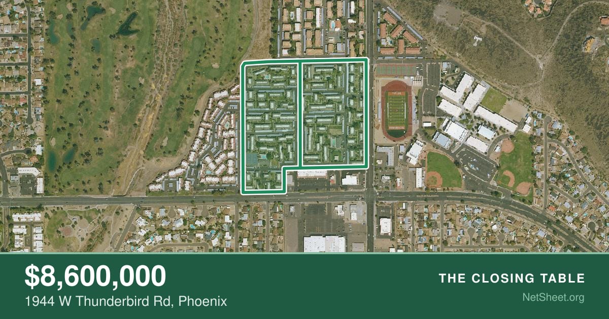
An apartment complex at 1944 W Thunderbird Rd, Phoenix sold for $8,600,000 on October 8, 2026. See the seller and buyer net sheets for this sale.
What would your home net? Get a free Maricopa County seller net sheet Agents: send a branded net sheet like this to your seller, free
- Sale price
- $8,600,000
- Sold
- October 8, 2026
- Property type
- Apartment complex
- Lot size
- 675,006 sq ft
- Year built
- 1979
The $8,600,000 sale was 79% below the $40,466,400 market value on record, according to the Maricopa County Assessor's records. The apartment complex at 1944 W Thunderbird Rd in Phoenix sold on October 8, 2026, according to the Assessor's parcel records.
The deed covers 2 parcels. 1944 W Thunderbird Rd is the largest one we could identify.
The record lists CRE Latitude TIC Owner LLC, Avanti Latitude TIC Owner LLC and Avanti Latitude TIC Owner II LLC as the buyer. The Assessor's records show a build year of 1979 and a 15.5-acre lot.
This summary was written by AI from public sales records and checked by automated rules. The figures come from the record and the NetSheet.org rules engine. How we make these.
What were the closing costs in Maricopa County?
By our estimate, the seller's two largest charges, not counting prorations, were $16,655 for the owner's title insurance policy and $650 for the escrow fee. Who pays what follows Maricopa County custom.
How much did the seller net?
By our estimate, the seller netted about $8,542,920. That is before any broker commissions and any loan payoff.
How much cash did the buyer bring to closing?
A cash buyer would need about $8,560,955 at closing. That covers the full price and closing costs.
Source: Maricopa County Assessor parcel records, document 20260585176. Property details: Maricopa County Assessor. Net sheets are estimates from the NetSheet.org rules engine, not the parties' actual closing statements. Request a correction or removal.